
Under Construction
still working on this, I’ll finish someday….
big time info posted periodically
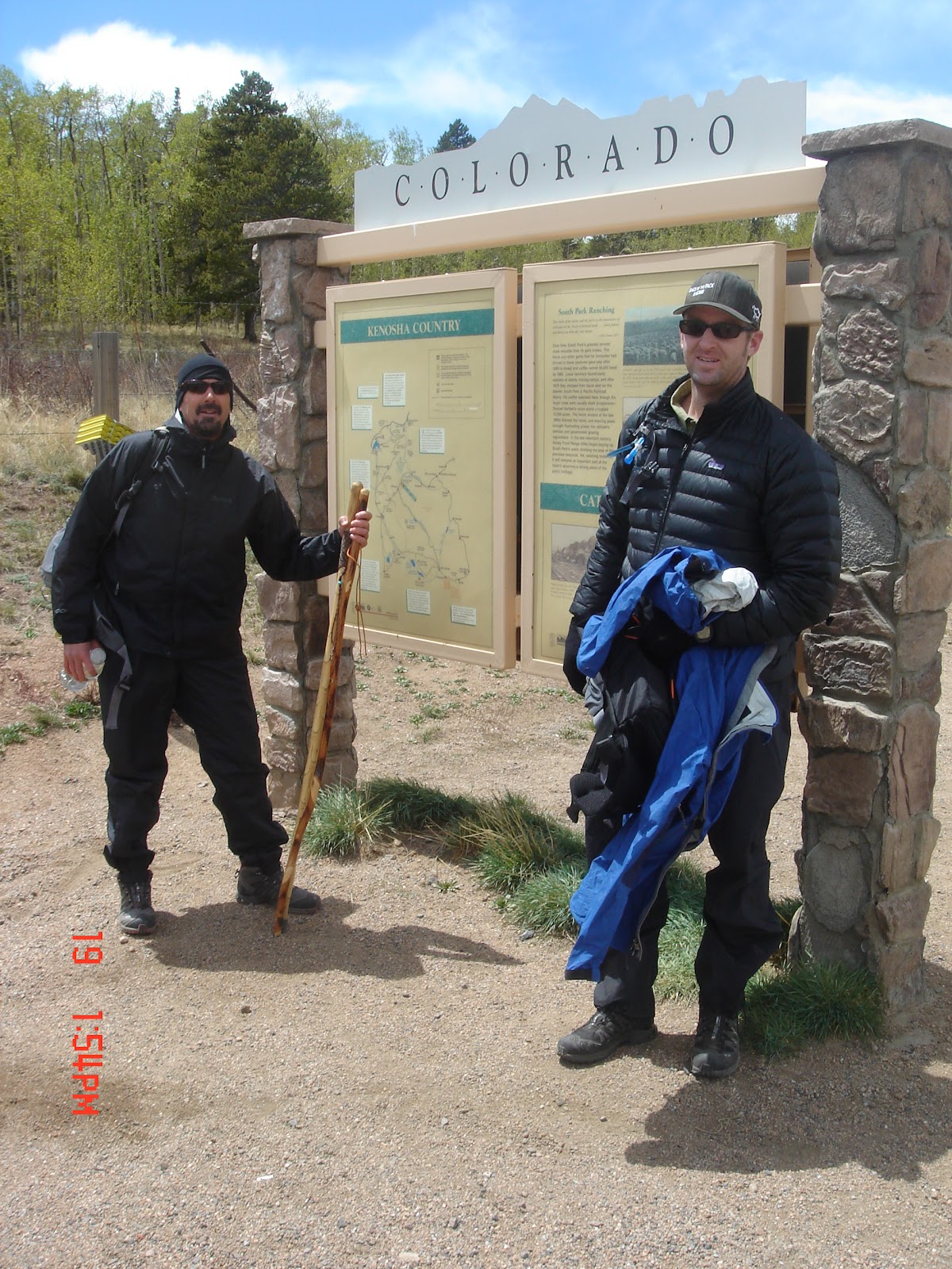
As I biked and hiked (hike-a-biked) the Colorado Trail I spent countless hours thinking about writing a book about my adventures. I’m not sure that anyone really cares about my adventures, but I am sure that many people want the data from my adventures.
Sure, one can buy the Colorado Trail Guidebook and the smaller databook. But those publications don’t really prepare a biker – a single speed bike packing freak – for the experience.
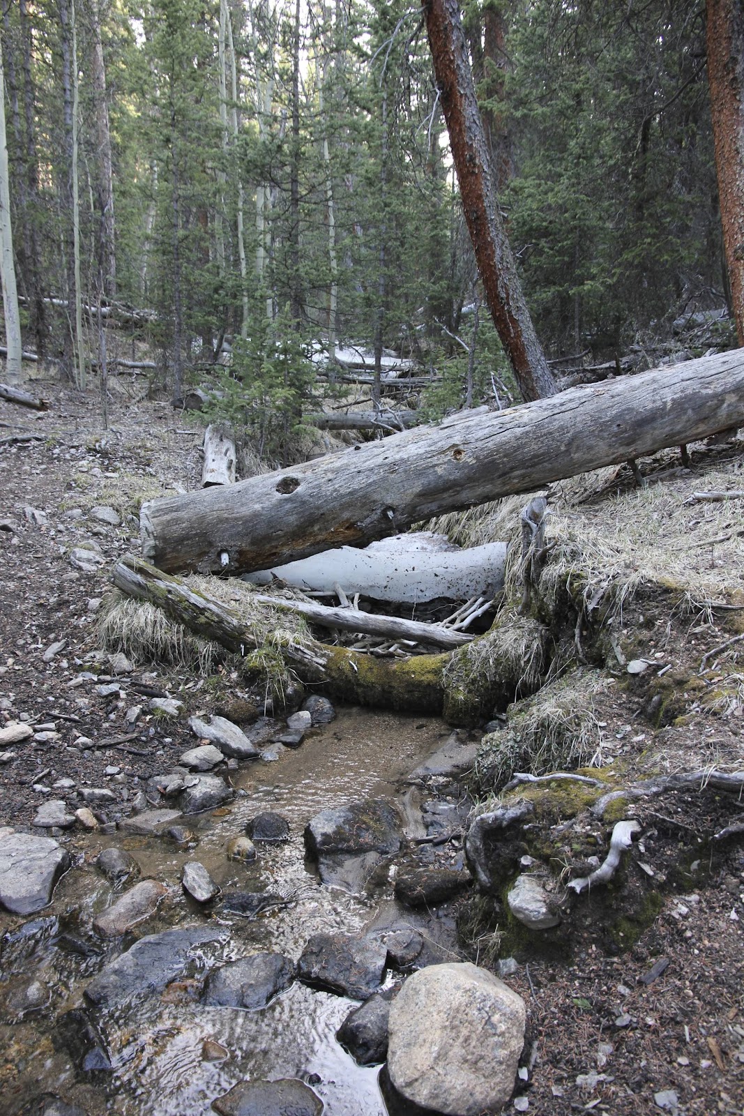
The usual questions exist for all those that travel the Colorado Trail, hikers and bikers… What is the elevation profile of each segment? Where is the water? Where are the campsites? Well, the official Colorado Trail books provide many answers to these questions. Go buy it, donate to the Colorado Trail. Just do it.
But there are other questions that exist and that I hope to answer with this set of information…. What are the actual elevation profiles? (Yes, it all depends on the ‘instrument’ used to gather the data.) How long will it take to bike / hike-a-bike each segment. What do I need to know in order to have a successful, fun, safe bike trip on the Colorado Trail. What is it REALLY LIKE?
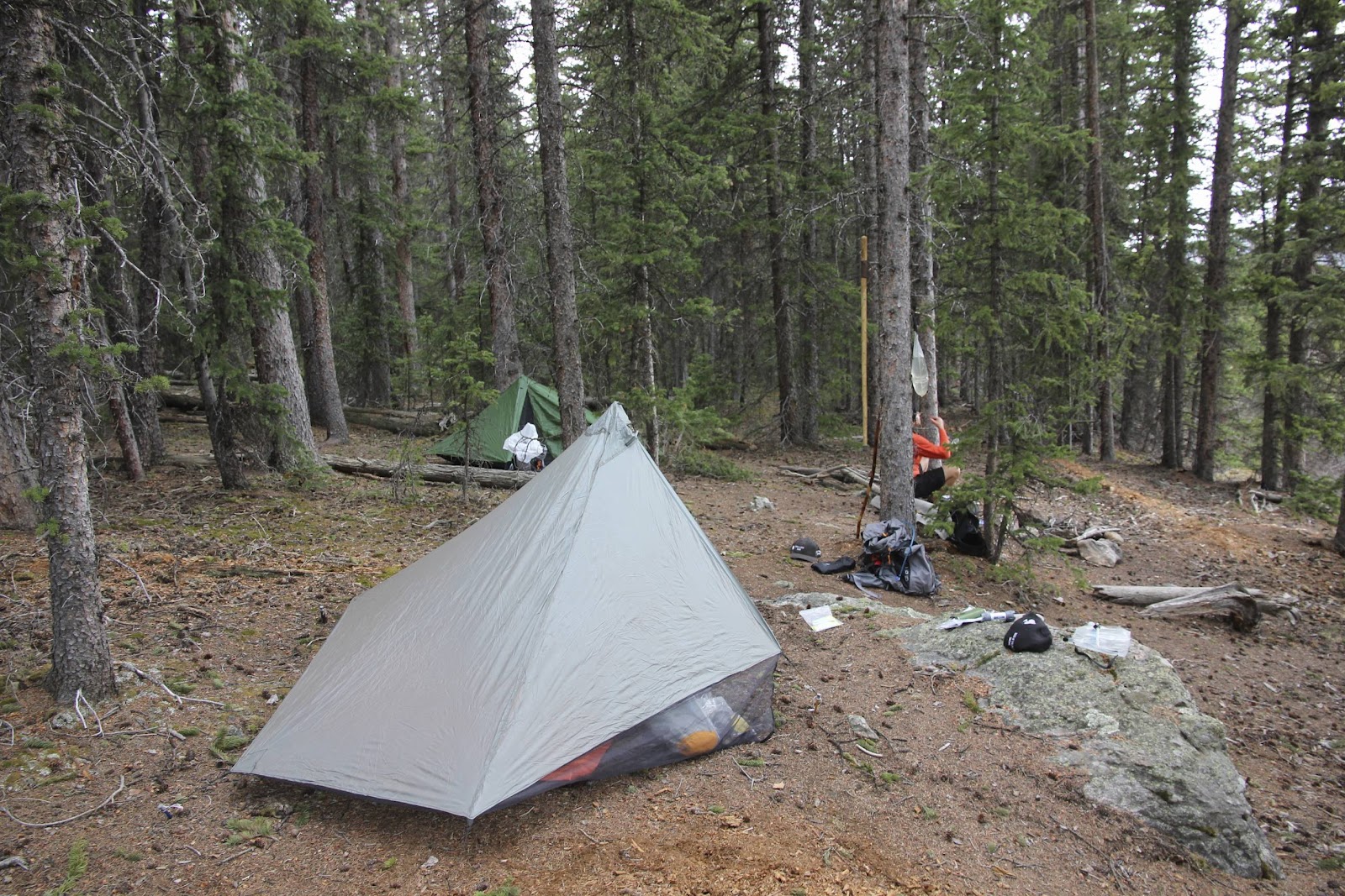
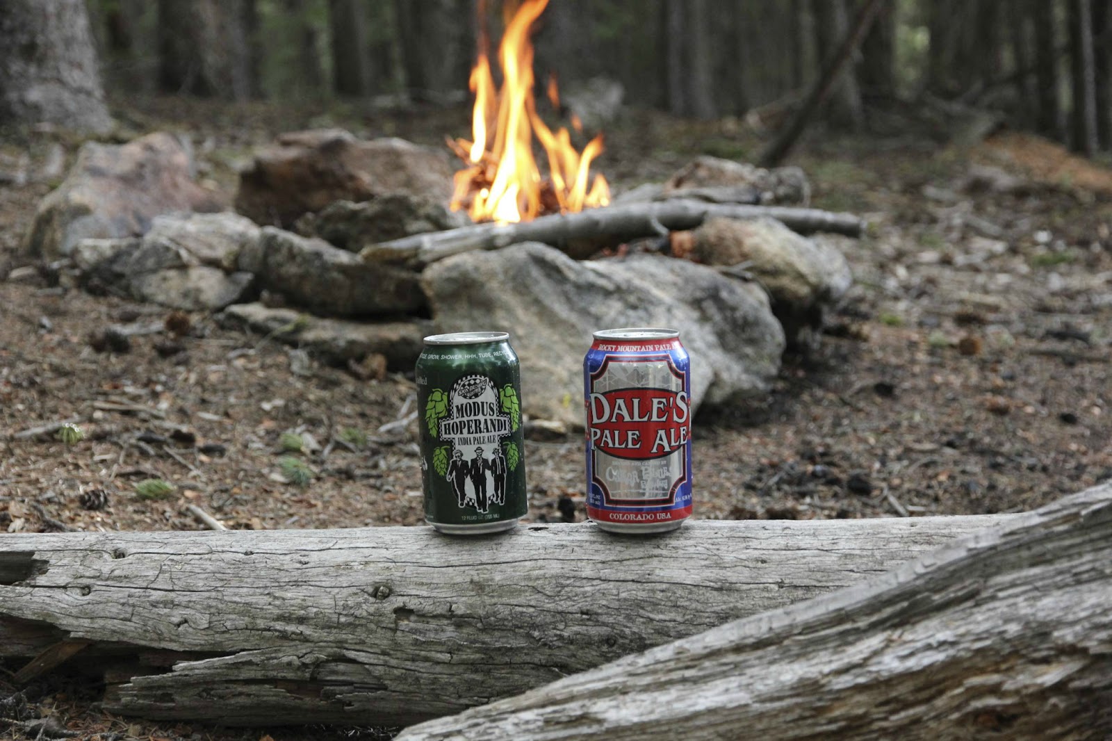
To answer these questions I assembled a blog page for each segment and each bypass. The data includes a brief summary, the gps data and my travel time. I also provide links to all my pictures, the gpx files and the Google Earth kml files. Yep. It’s all there, just because.
So. I may not write a book – but books are so 20th century. Maybe this blog and set of pages will provide information useful to many. I’ll surely add to the site, improve the site, keep up the site… as I intend to spend many more summers on the Colorado Trail.
So check out all the pages on the right sidebar. Contact me if you have any questions. Let me know if you find any issues with my information or any real bad grammar mistakes or problems with my sentence structure. Ok that’s a joke.

All the CT Data – And Then Some


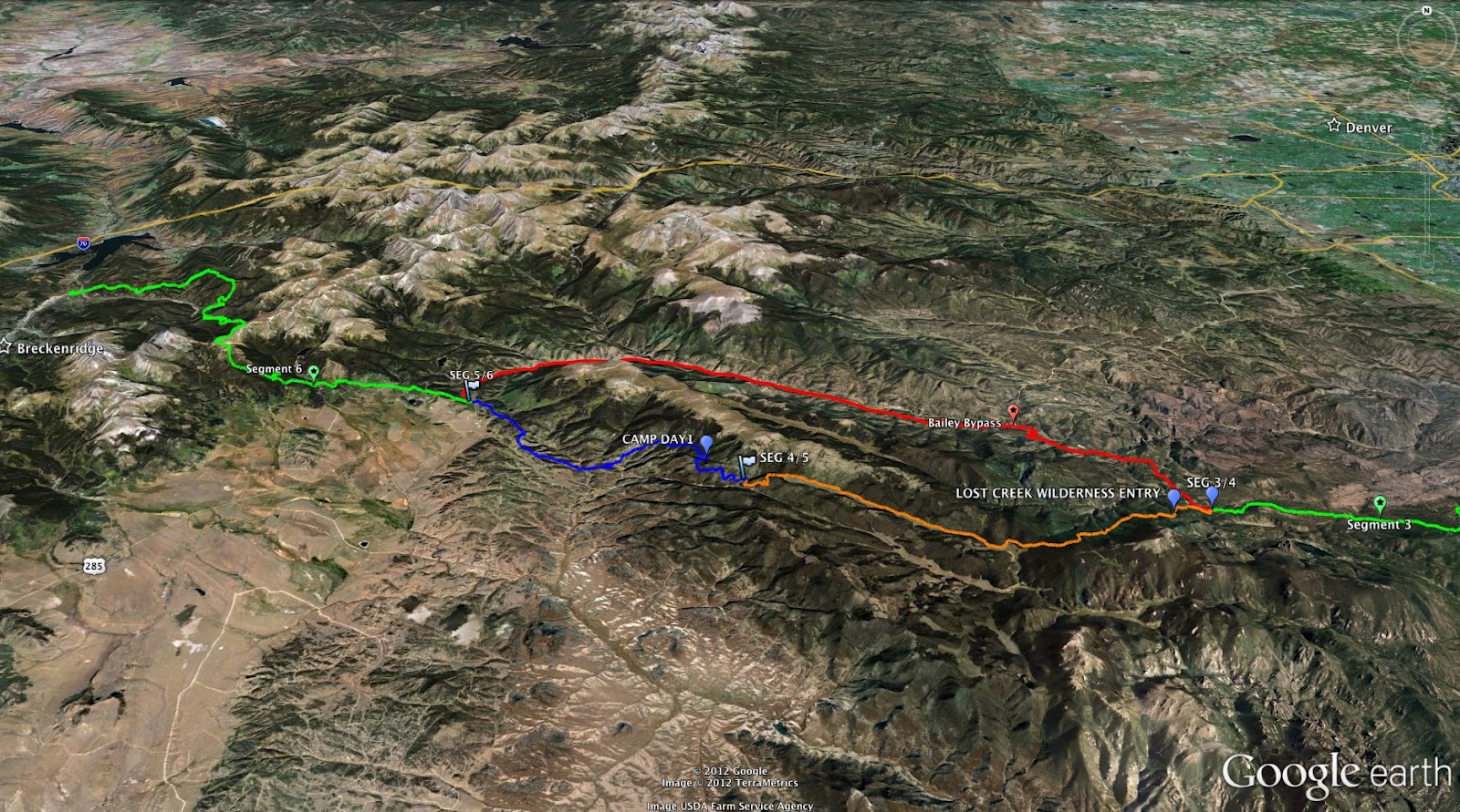
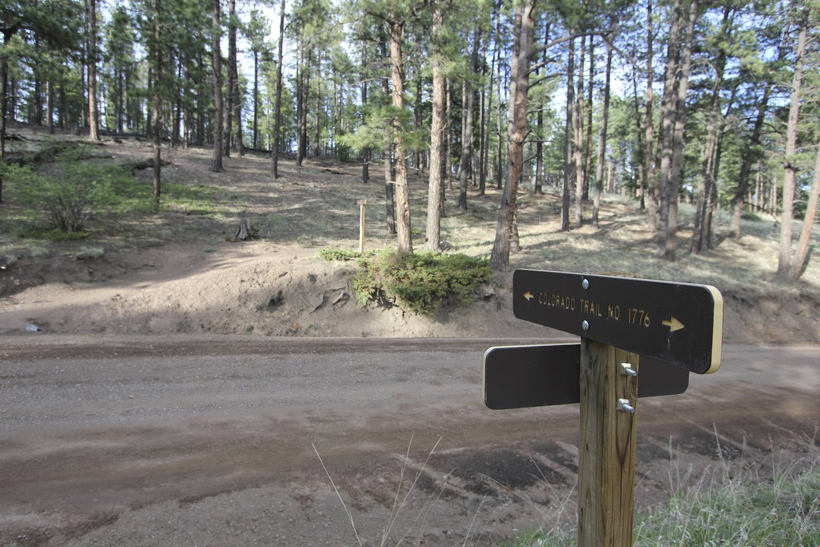
The Colorado Trail: Segments 4 & 5
It’s well known that the goal for 2012 is to travel ALL of the Colorado Trail – the 500+ miles on the bike and the 146.9 (+) Wilderness miles on foot. Are you confused? If so, look into it.
HINT: You CANNOT travel the entire Colorado Trail on a bike. You gotta take some detours. So, if you want to see it all, find some walking shoes and hang with us… at the Back of the Pack.
uh, The Madre said we shouldn’t hitchhike
The Motivation : The Colorado Trail : The Wilderness Areas:
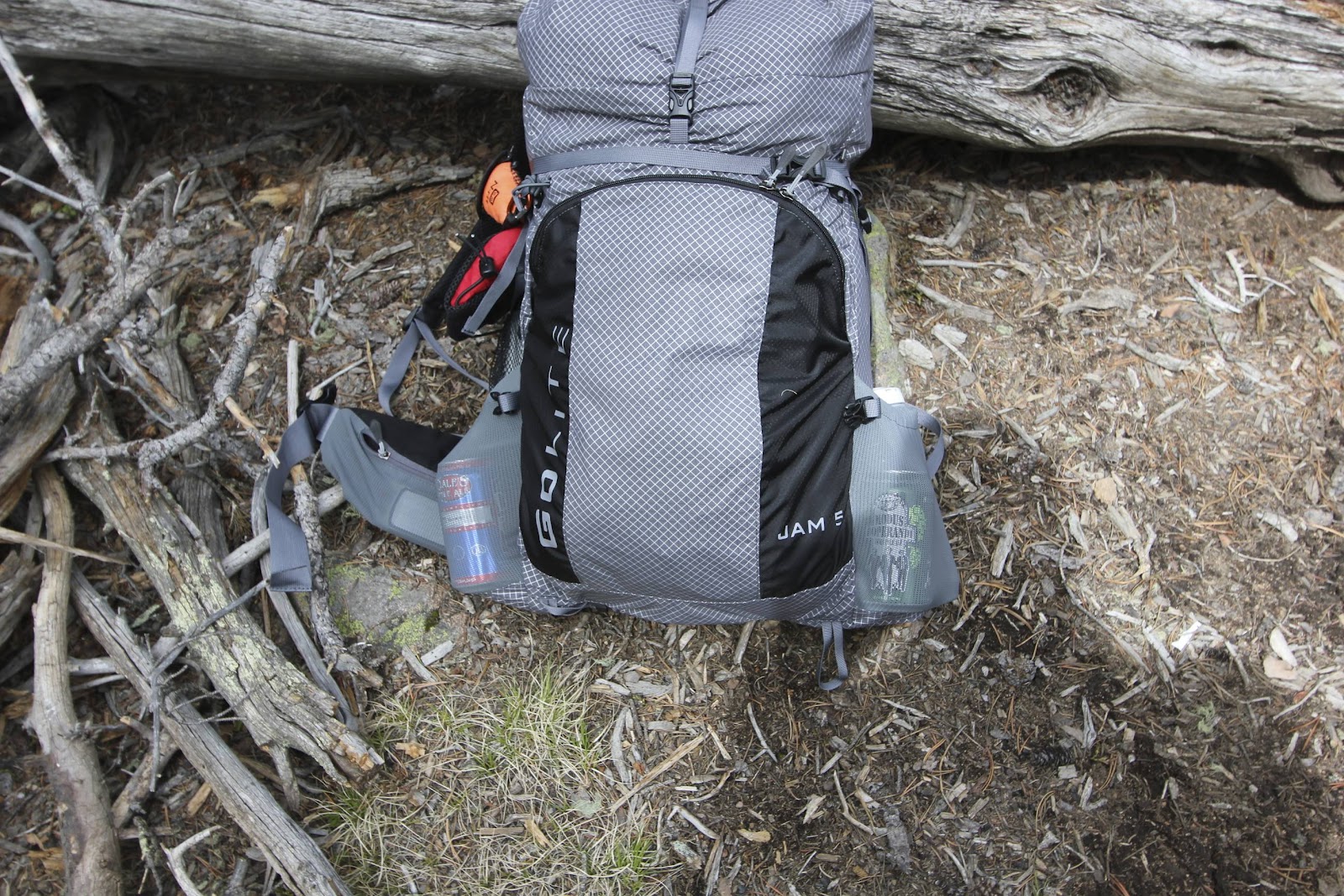
- I’m a 220 lbs singlespeed freak (who is in treatment for obesity) and a dude that wants to see it all – from the Back of the Pack. So, just riding the Colorado Trail is not good enough for me… yeah, I’m a SLOW dude that needs elastic waistbands. Seriously.
- The Colorado Trail is ~ 485 miles. But only 338.1 miles of the CT are accessible via bike, i.e., legal for bike action. So there are 5 Bypasses? Yep, you gotta skip ~ 147 miles, like 30.29% of the CT if you’re rolling on 2 wheels.
- So, my adventures are about The Colorado Trail – but really, the adventures are about Colorado – just not ‘The Trail’. It’s about the mountains AND the trails, the history, the isolation, the miners, the explorers, the tough dudes, the tougher dudettes, the lifestyle in the Wild West, the freedom…. the whatever.
- Yeah, the whatever… because it is whatever you want it to be.
- If it works for bikepacking it’ll work for phatpacking
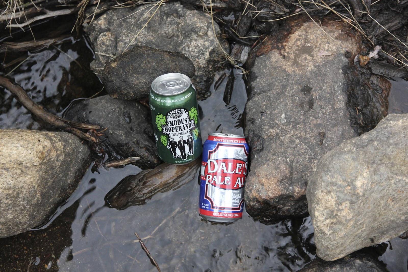
- Judd needs 1L of water for 21 miles. Prob-eee needs 4 or more L of water
- The Lt Col & Prob-eee have similar genetic composition. What am I talking about? You don’t’ have a need to know. But… the score:
- Judd 1.1
- Prob-eee 6.3
- Gotta take the heat, just because. And if you don’t get it, you won’t get it.
- Don’t carry 10+ lbs of liquid nourishment. You’ll only ‘need’ like 1L / 2.2 lbs per 10 hours / 20 miles. I think. Maybe.
- Seriously – have a strategy for H20. Don’t carry water just to carry water.
- Seasonal streams are seasonal. Year round streams are seasonal, seriously.
- Seg 1 – 4 can be viewed as ‘the ascent’ into the mountains
- The southern bike bypass could be a brutal 80 miles. An additional long day. (The northern bypass goes through Bailey & up HWY 285, 28.x miles)
- It may be too much to deal with early on in an end-to-end CT attempt. Maybe.
- We may take the 50/50 chance (of survival) on the northern route, through Bailey, again.
- New Mexico is Greener than parts of Colorado.
- Yeah, that’s weird. It is dry up near Bailey and Kenosha Pass. It’ll be a long dry hot dangerous summer up there.


The Slide Show. Kinda Boring. But Tenacious D Rules:

What’s next, the rest of 2012:
- Lt Col’s Rehabilitation Trip – San Juan Mtns, Memorial Day weekend
- just kickin’ it at high altitude
- done – survived – a blog posting will follow
- 24 Hrs in the Enchanted Forest – June 16th / 17th
- Colorado Trail – Seg 9-10 12-13 – early July
- CTR ITT – start July 25th / end 10 days later
- Colorado Trail – Seg 18-21 – early August
- 24 hrs in the Sage – August 18th / 19th
- Tommy knocker – Sept 1st / 2nd
- Colorado Trail – Seg 24 – mid September
